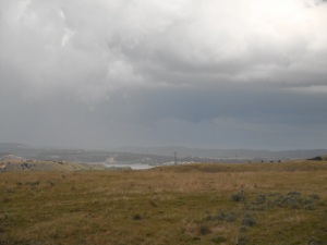
Today began with a very quick morning meeting so we could get on the road quickly and into place for what seemed to be a very promising day. Dr. Call walked in asked where the target city was, agreed and then said “Let’s move” All the indices we need to form tornadic supercells were pointing to our area. The Storm Prediction Center even issued a tornado watch for the area. Our target city was originally Cheyenne, Wisconsin, but we ended up in the small town of Lingle, Wisconsin waiting for the storms to form. Nothing impressive turned up for a while, so we played, soccer, football, and ultimate frisbee, at the local park. For the storms we were expecting to form we were missing one thing. The trigger. We needed a boundary such as a front to push the clouds past the stable layer of the atmosphere preventing any strong storms from forming until later that night. We call this stable portion of the atmosphere the Cap, or CIN (convective inhibition). After about 4 hours of waiting for a storm to form, a cell twenty miles north of us, was honored the famous thunderstorm warning watch-box. We deployed to see a decent mesocyclone. After following this for a while it got dark, and we couldn’t see anything, so we started heading to our hotel for the night. We found out later, that after it was dark the storm went supercellular with lots of rotation. Kinda disappointing. This is the things we learn from. Today I learned that even if one thing is missing, storms may not fire up. Just because the models and indices say there will be storms doesn’t mean there will be storms.
- Comment
- Reblog
-
Subscribe
Subscribed
Already have a WordPress.com account? Log in now.

